Log in
All resources
Create a design
20 Free Artworks of Old Maps Of Flanders
atlantis magni tomus secundus (biblioteca comunale di trento)
maps made in the 17th century
maps by pieter schenk (i)
gerard valck
nicolaes visscher ii
prints from the peace palace library
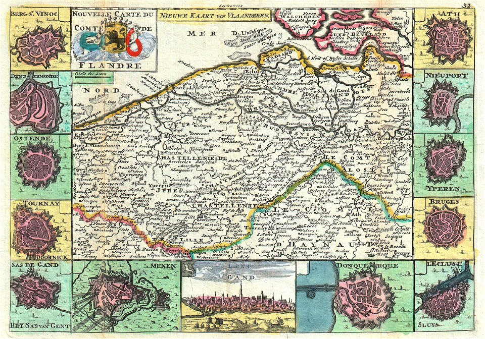
maps of the county of flanders
old maps of zeeland
maps of the county of flanders
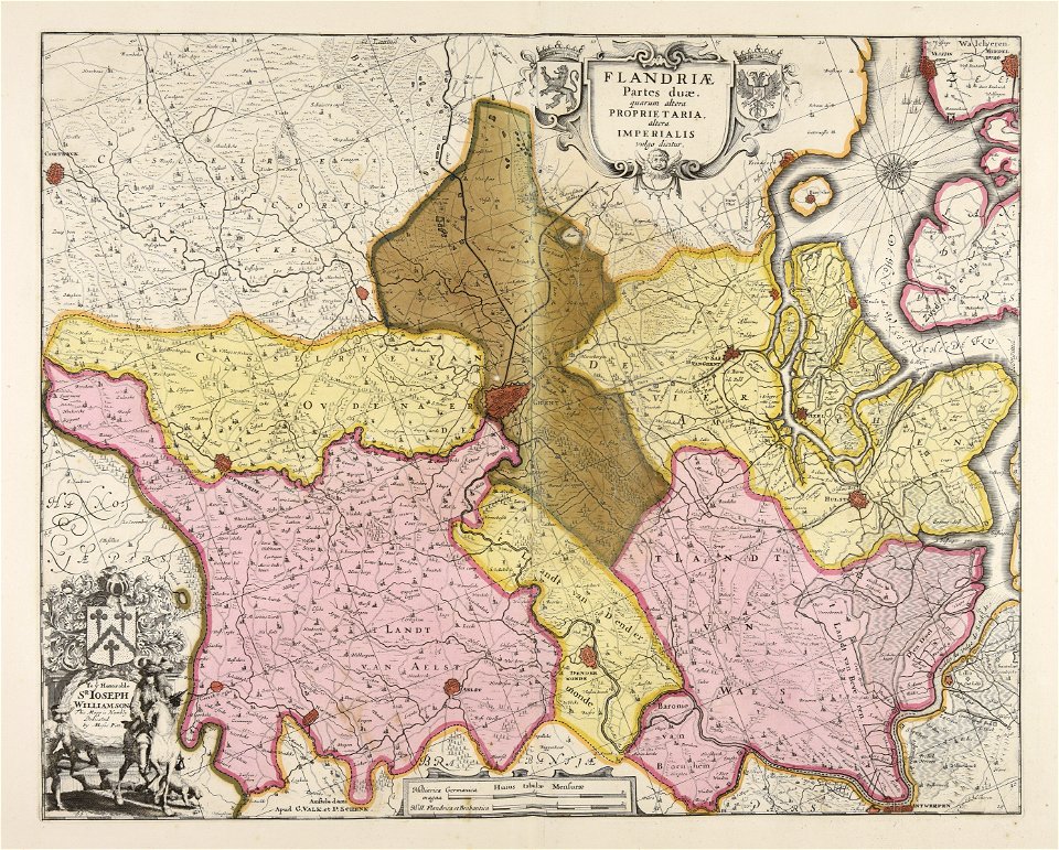
old maps of flanders
maps by frederick de wit
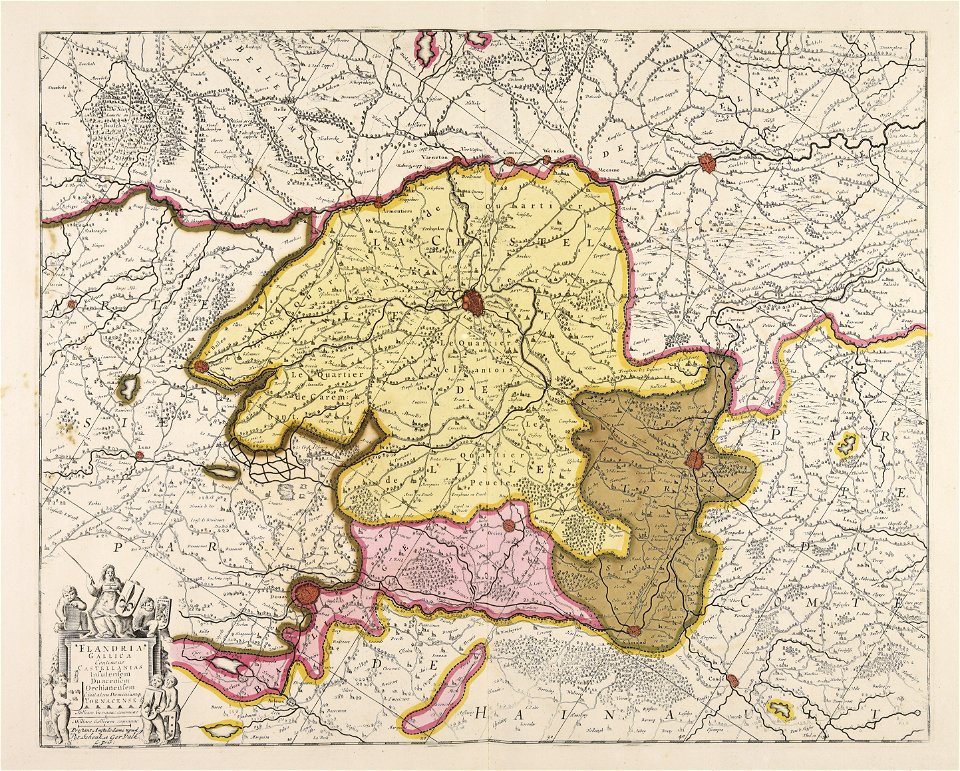
old maps of flanders
old maps of flanders
old maps of france
prints from the peace palace library
zeelandic flanders
maps of the county of flanders
johannes ratelband
maps by willem and johannes blaeu
1649
prints from the peace palace library
old maps of zeeland
maps made in the 17th century
gerard valck
prints from the peace palace library
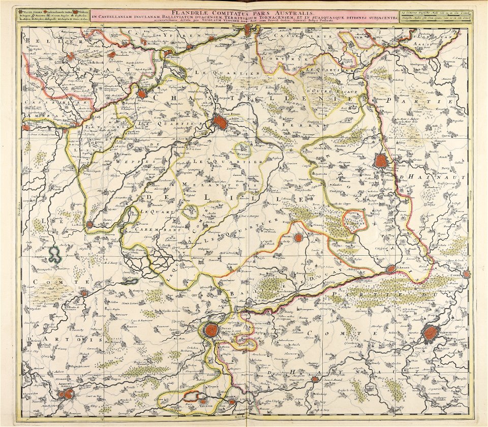
old maps of flanders
maps made in the 17th century
gerard valck
maps made in the 18th century
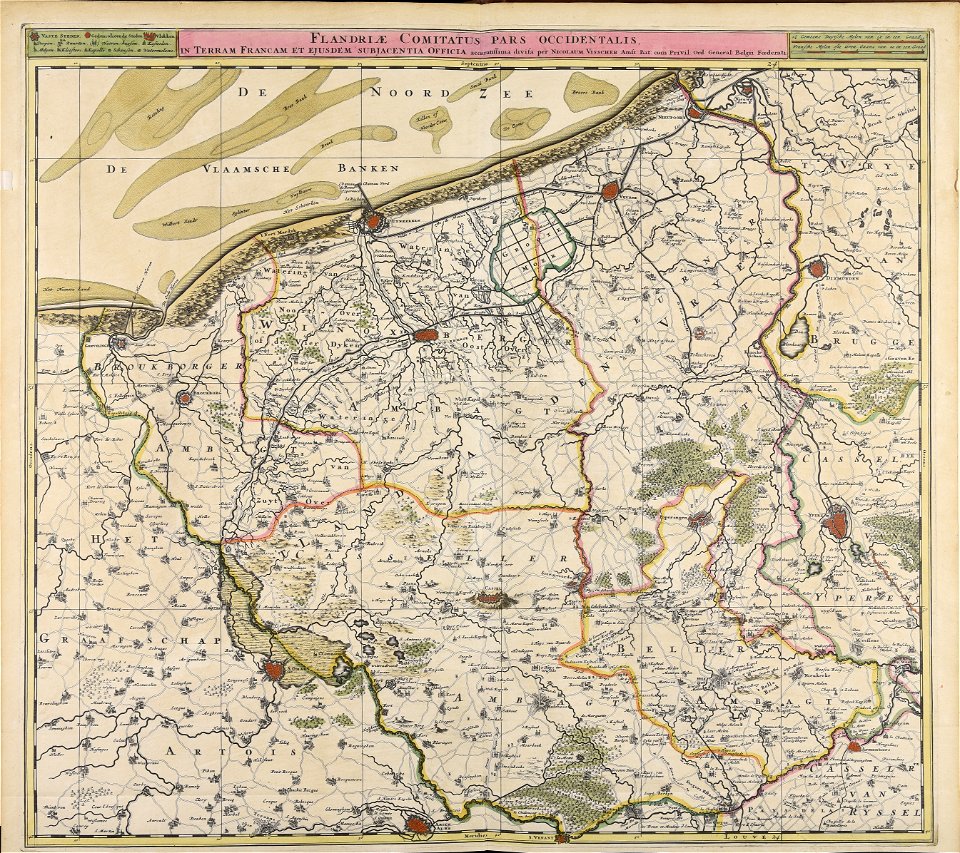
old maps of flanders
maps made in the 17th century
gerard valck
maps made in the 17th century
gerard valck
maps made in the 17th century
gerard valck
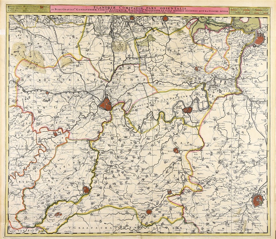
maps made in the 17th century
nicolaes visscher ii
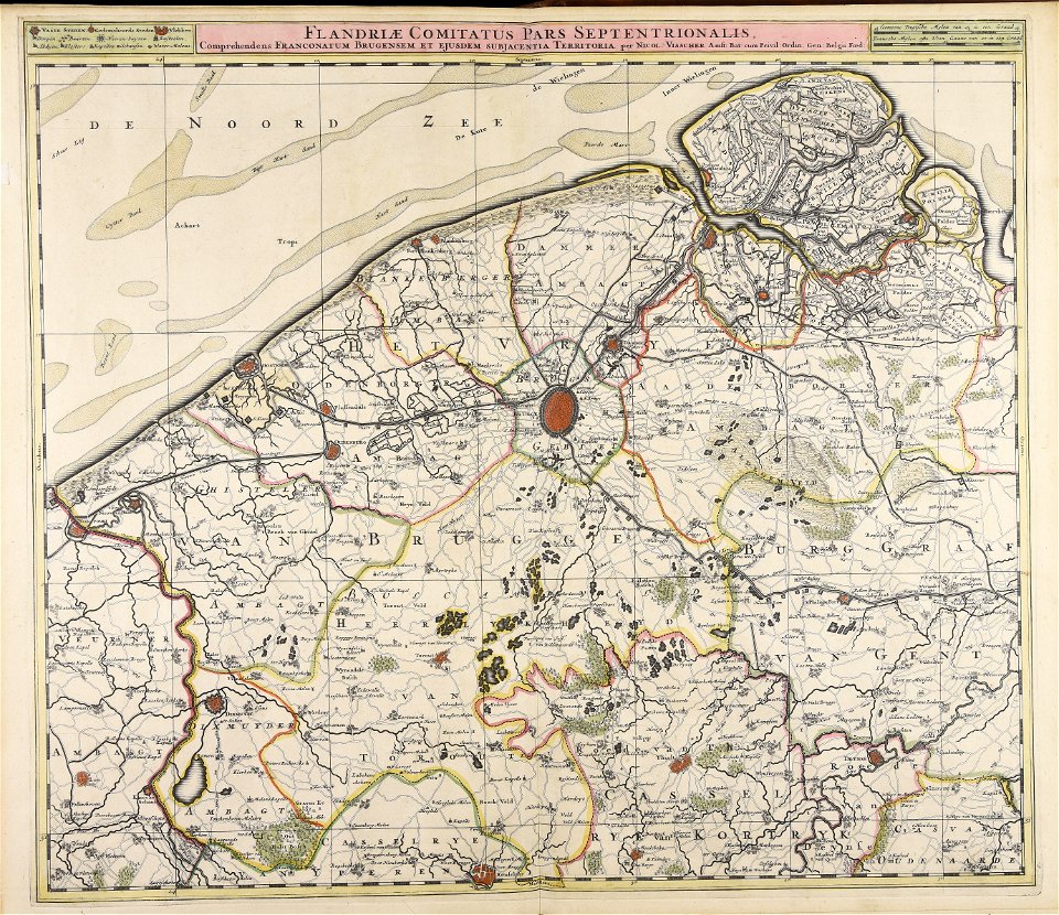
maps made in the 17th century
nicolaes visscher ii
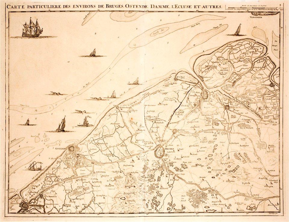
maps made in the 17th century
nicolaes visscher ii
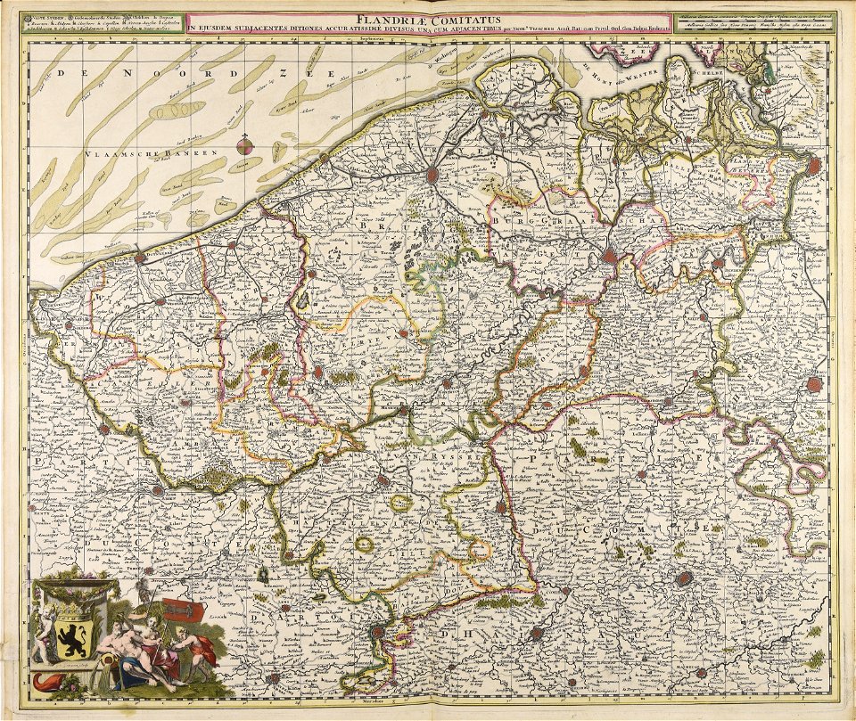
maps made in the 17th century
nicolaes visscher ii
prints from fricx table des cartes des pays-bas at the peace palace library
old maps of flanders
maps made in the 17th century
nicolaes visscher ii
1 - 20 of 20
/ 1